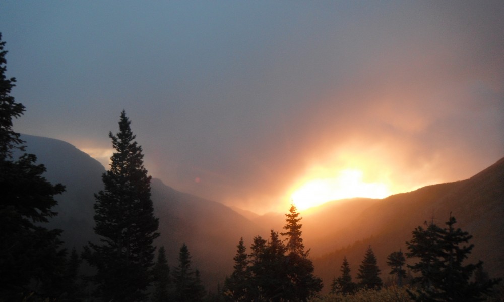
Lenny’s Rest, Colorado Trail
I participated in the Bikepacker first annual Bikepacking Summit in Golden, Colorado this past weekend. It was great stuff. Lots of super cool presentations that showcased the many, many ways one can explore via the bicycle. Met and chatted with so many cool people, learned so much and in turn, I am inspired by them all. Such a wonderful event.
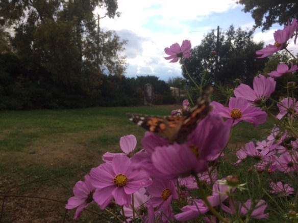
flowers and butterflies!
From there I spent a couple nights, and a day, with my Mom, in Brighton, Co. We sat with the dogs and cat, drank beer, watched the clouds roll by and the rain drops fall. All the while I prepped my bike and gear for the ride home. I watched the weather constantly, but no matter it didn’t improve, it looked like a wet ride home. My Mom tried to convince me to stay and let Rach come pick me up. As comfy and warm as that sounds, I needed to ride, to travel under my own power.
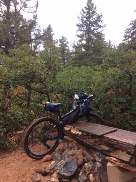
Tarryall Detour
So early Tuesday morning I got dropped off at Waterton Canyon, the start of the Colorado Trail and started my ride home. I did the first segment of the CT to the South Platte, where I turned south and followed the canyon towards Deckers. I planned most of the route without knowing exactly what was on the ground, I was hoping to do mostly gravel and dirt roads as my hand hasn’t been up to rugged singletrack. Unfortunetly, this dirt road soon turned to pavement a bit too soon, but was still a lovely bit of country.
![FullSizeRender[1]](https://jwookieone.com/wp-content/uploads/2017/09/fullsizerender1.jpg?w=584)
I then climbed back up on dirt towards the Tarryall detour of the CT, then turned south to 24 and eventually Lake George and the Eleven Mile Canyon. This was all new and gorgeous terrain. Huge granite rocks jutting out of the tight twisty river, all while gathering clouds made the sky a swirl of sunshine and darkness. I then took couple of shortcuts that turned out to be dead ends, county roads that didn’t go like they looked to on the map. Despite the waste of energy and time, I didn’t get frustrated and instead laughed and carried on…all the way north to Hartsel.
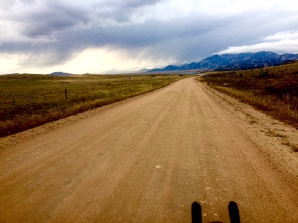
![FullSizeRender[2]](https://jwookieone.com/wp-content/uploads/2017/09/fullsizerender21.jpg?w=584)
There I racked my brain and my eyes to find the Tour Divide route south towards Salida. I had drawn a GPS track, but didn’t get the right one loaded, so by now I was going off of memory and general direction/instinct. I managed to stay on route all the way to Ute Trail where around midnight, I finally found some trees to hide from the rain and get some sleep. Despite a minimal sleep system I got in some quality rest, at least 7 hours of sleep! I stayed in my bag till almost 9 and then packed up in the rainy mist and made my way to Salida.
![FullSizeRender[1]](https://jwookieone.com/wp-content/uploads/2017/09/fullsizerender11.jpg?w=584)
Gorgeous cloud riding outside of Salida
![FullSizeRender[2]](https://jwookieone.com/wp-content/uploads/2017/09/fullsizerender2.jpg?w=584)
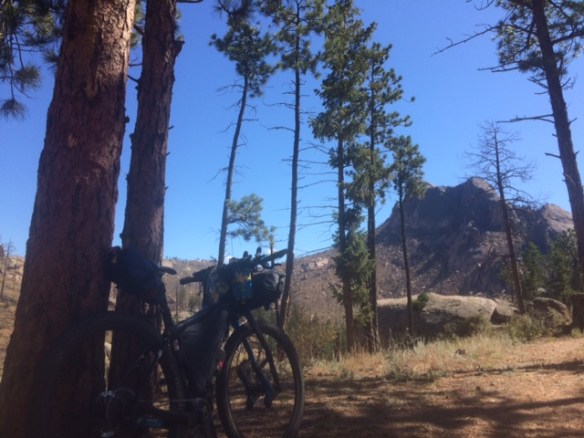
my trusty Ibis Tranny
![FullSizeRender[7]](https://jwookieone.com/wp-content/uploads/2017/09/fullsizerender7.jpg?w=584)
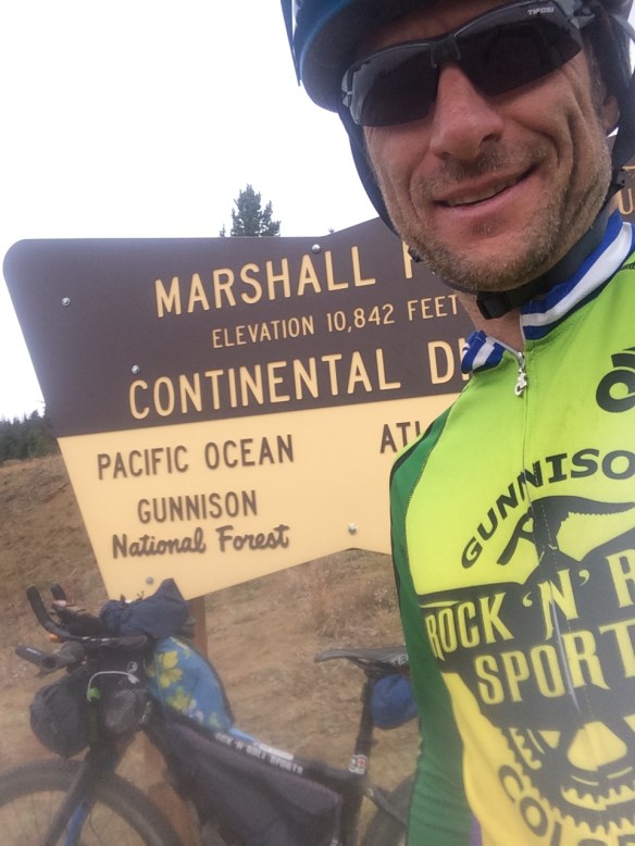
looking west of Marshall Pass
![FullSizeRender[4]](https://jwookieone.com/wp-content/uploads/2017/09/fullsizerender4.jpg?w=584)

Hi Jefe! Nice writeup! If you happen to make it to Moab this Fall, hit me up. I am a rehabilitation bodywork practitioner and would love to try to do a little work on your hands and wrists to see if it can help the problem. You’d get the bikepacker discount = free! — See you soon I hope! Scott Pauker